Found Tapes ~ Maps
(July 4th, 2018)
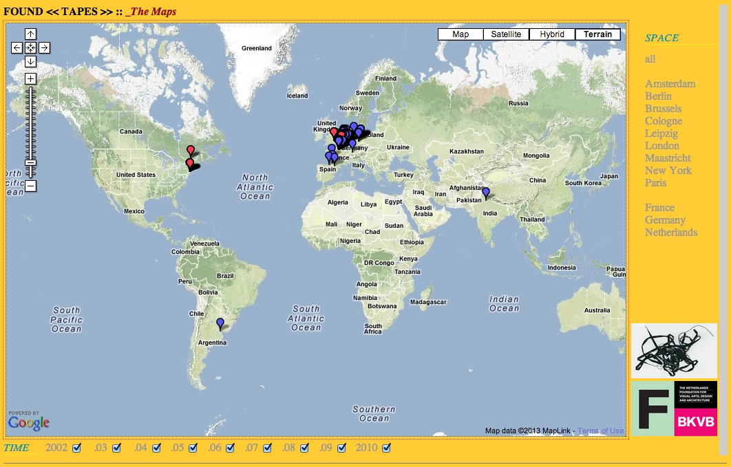
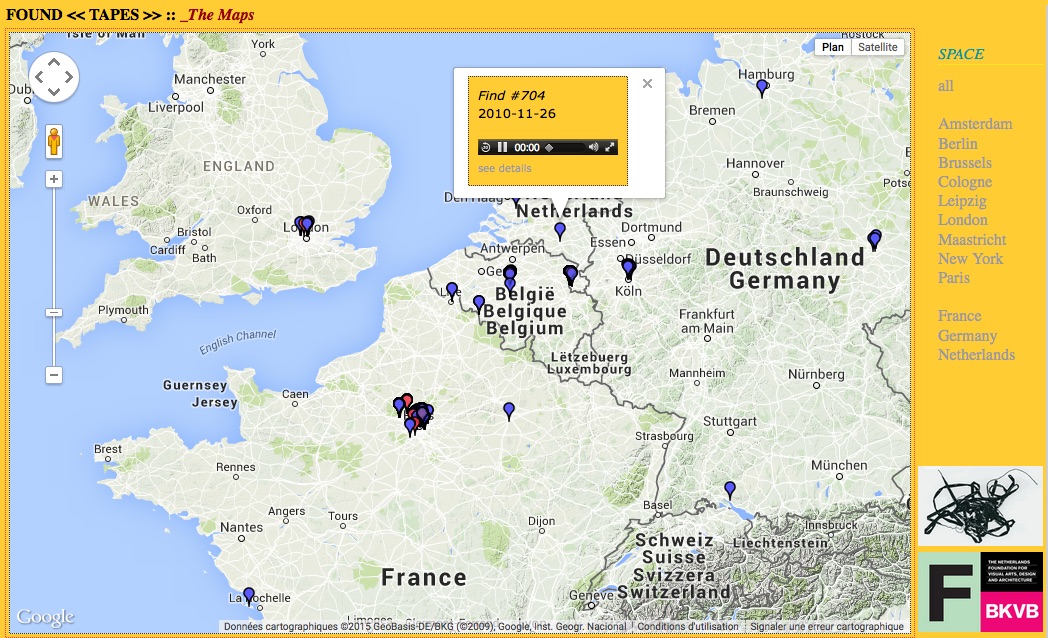
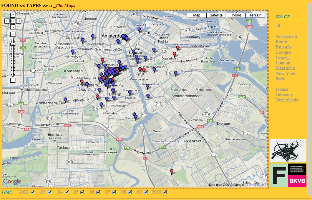
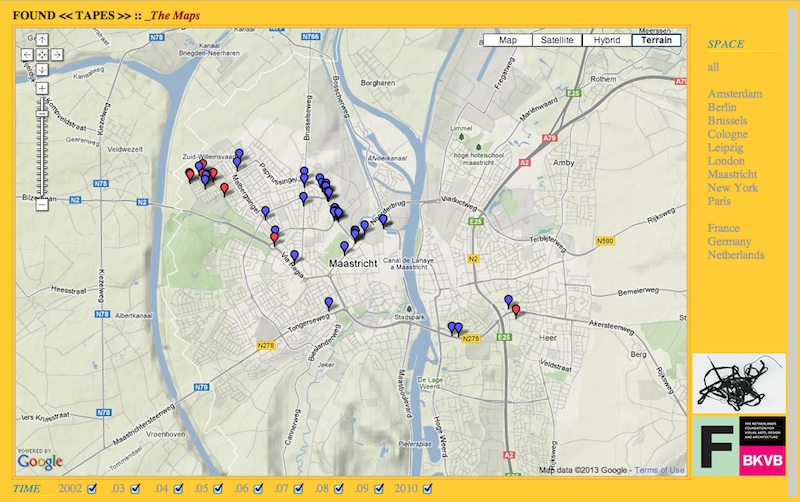
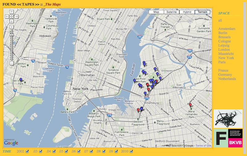
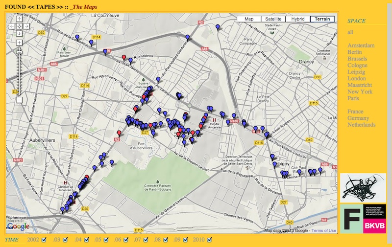
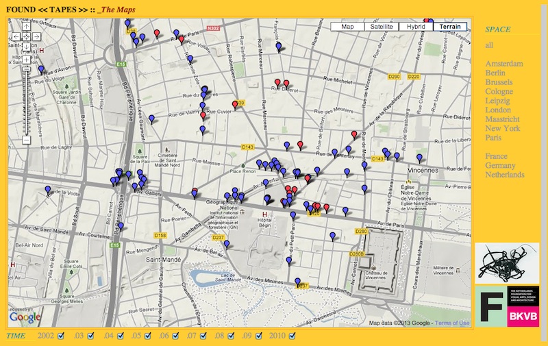
Due to changes in Google's conditions for the use of its Maps, the interactive topographic interface to the tapes found between 2002 and 2010 is no longer accessible as of the summer of 2018. That's a shame, but most of all another interesting reminder of the fact that current digital technologies and media, especially in the format that these are being made available to us by the major - commercial -developers are turning obsolete at a pace that seems to be ever increasing.
The screenshots below give you an impression of the interest of the topographic - and temporal - interface to the collection. And of course - given the time and the modest means - it would not be difficult to re-create a similar Google Maps interface for the Found Tapes Exhibition, or even make a far more sophisticated one, with or without Google.
Some day, maybe.